


7-3-2018
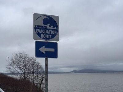
BELLINGHAM, Wash. — Whatcom County residents should be aware that if the ground shakes or sirens sound, a tsunami may be on the way.
The Washington Geological Survey released new tsunami hazard maps for Anacortes and Bellingham based on scientific models of an earthquake and tsunami event.
The new maps are a useful tool for evacuation planning and mitigation strategies.
The model shows a possibility for a tsunami up to 18′ in some areas and 12′ in Whatcom County.
Sheriff Bill Elfo says they will use this tool to update the Whatcom County Tsunami Action Plan. There are currently eight tsunami sirens between Point Roberts and Squalicum Harbor with plans for one more this summer.