



SEATTLE, Wash. — Two rounds of incoming storms are expected to bring joy to skiers and snowboarders and headaches for travelers headed over the passes this week.
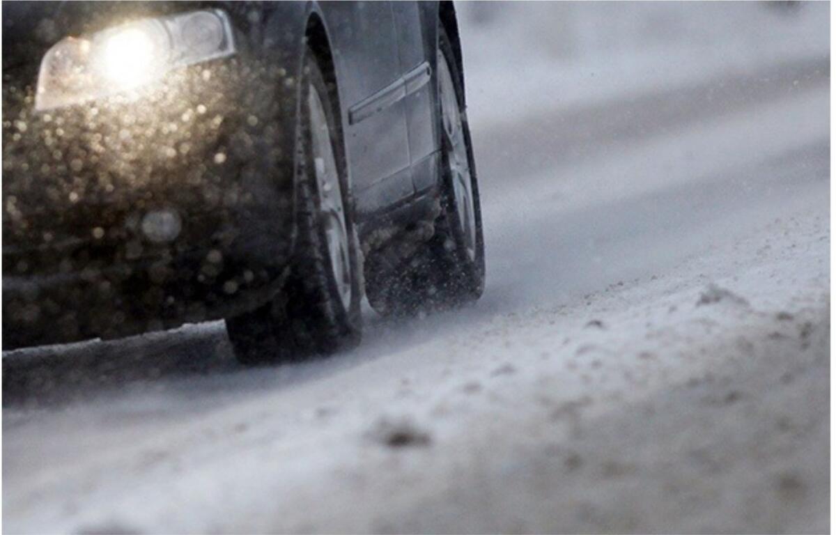
The National Weather Service says a very active weather pattern will start tomorrow through Thursday morning, bringing 12-18 inches of snow for the Cascades with even higher amounts possible for Mount Baker.
Snow levels for that event will remain below the passes.
The second round will hit over the weekend with up to three feet of new snow possible between Friday and Sunday.
While snow levels this weekend are uncertain, it is possible they will be below passes most of the weekend.